Southampton archaeologists use radar technology to uncover medieval city
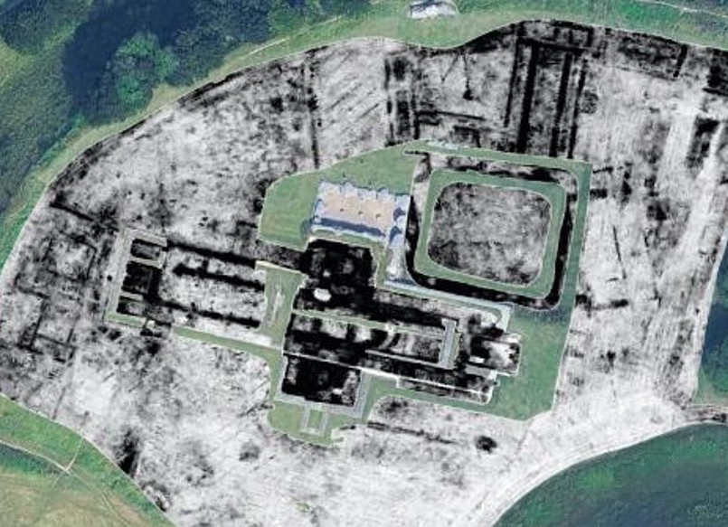
Staff and students from the University of Southampton’s Department of Archaeology having been using geophysical survey techniques to map the medieval centre of Old Sarum (Fig. 1) to the north of Salisbury. Cutting edge technology incorporating Ground Penetrating Radar (GPR) survey has provided an unparalleled glimpse into the remains of the buried city.
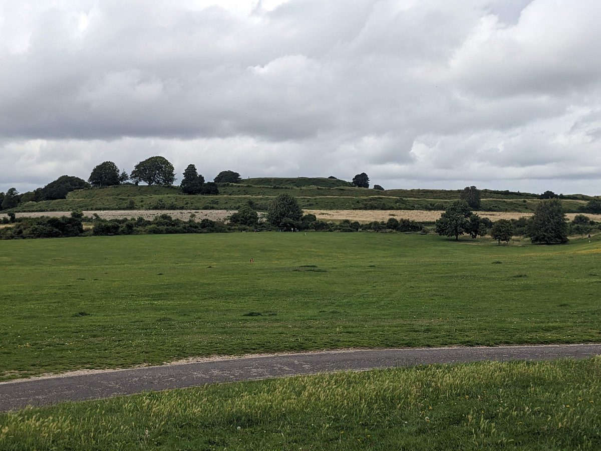
In the summer of 2025 and 2026 the team from the University of Southampton embarked on the GPR survey as part of a broader project investigating the site and environs of Old Sarum. Previously, magnetometry and earth resistance techniques had been used to map an area of over 150 hectares incorporating the site and its surroundings. The more recent seasons of fieldwork aimed to map the layout of the site at high resolution, showing the extent and nature of a medieval city from 12th and 13th century.
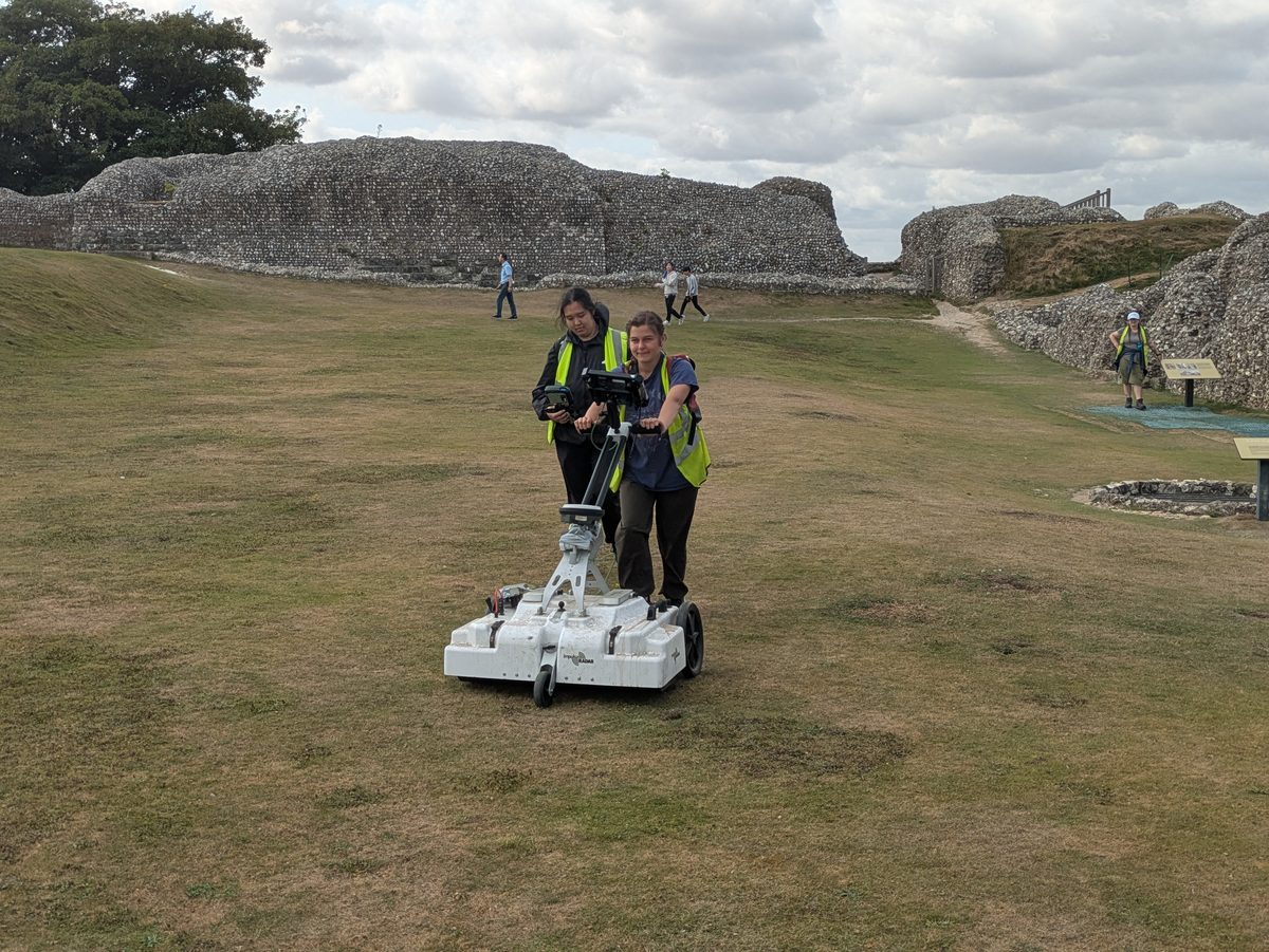
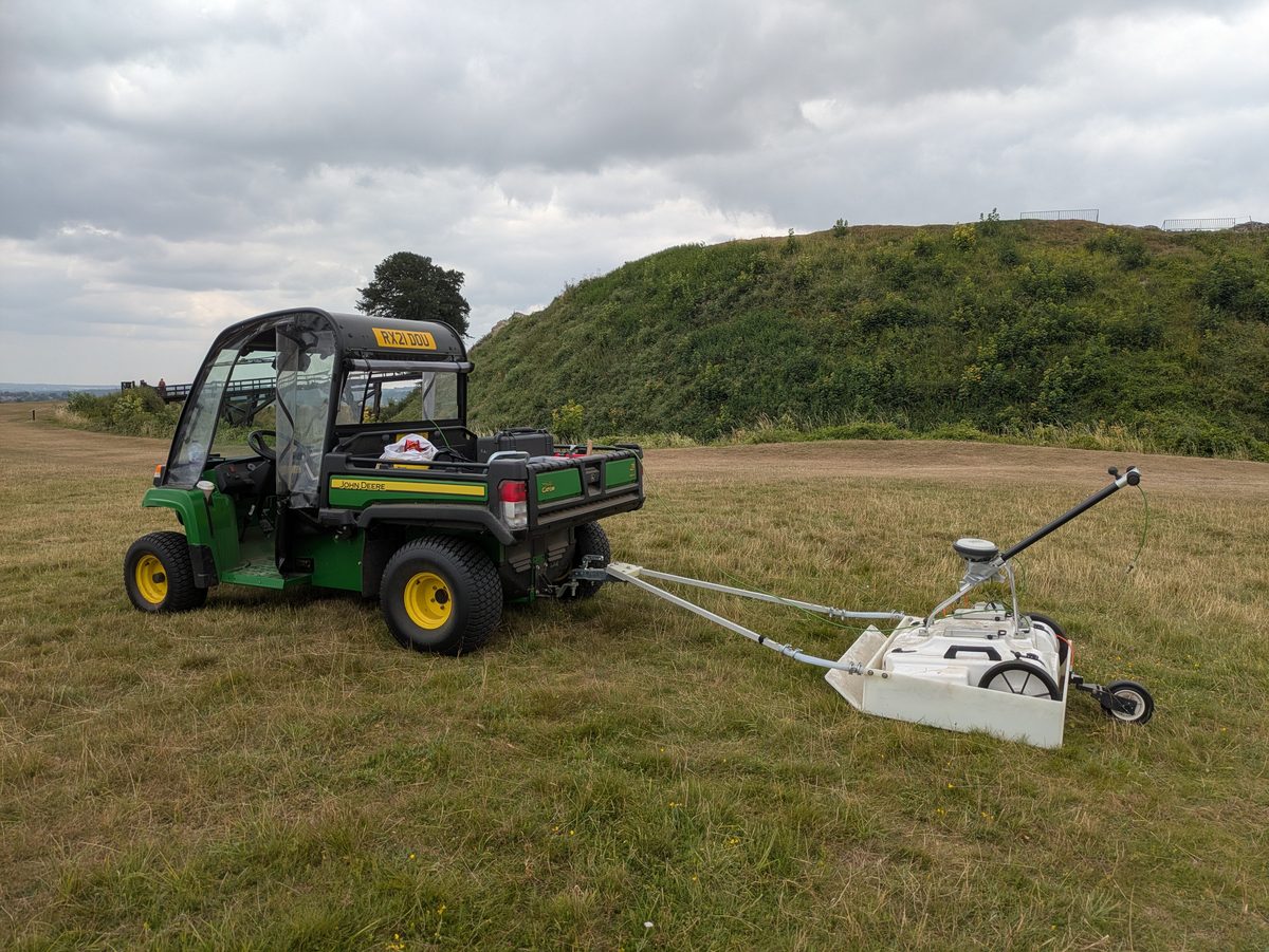
The survey was carried out using an 8 channel GPR system, towed by an all-terrain vehicle (Fig. 2), with data location tracked using a GPS. This system collects data at a resolution of 0.1m by 0.03m across the survey area, with the 450MHz antennae measuring variations in the buried deposits to a depth of over 3m.
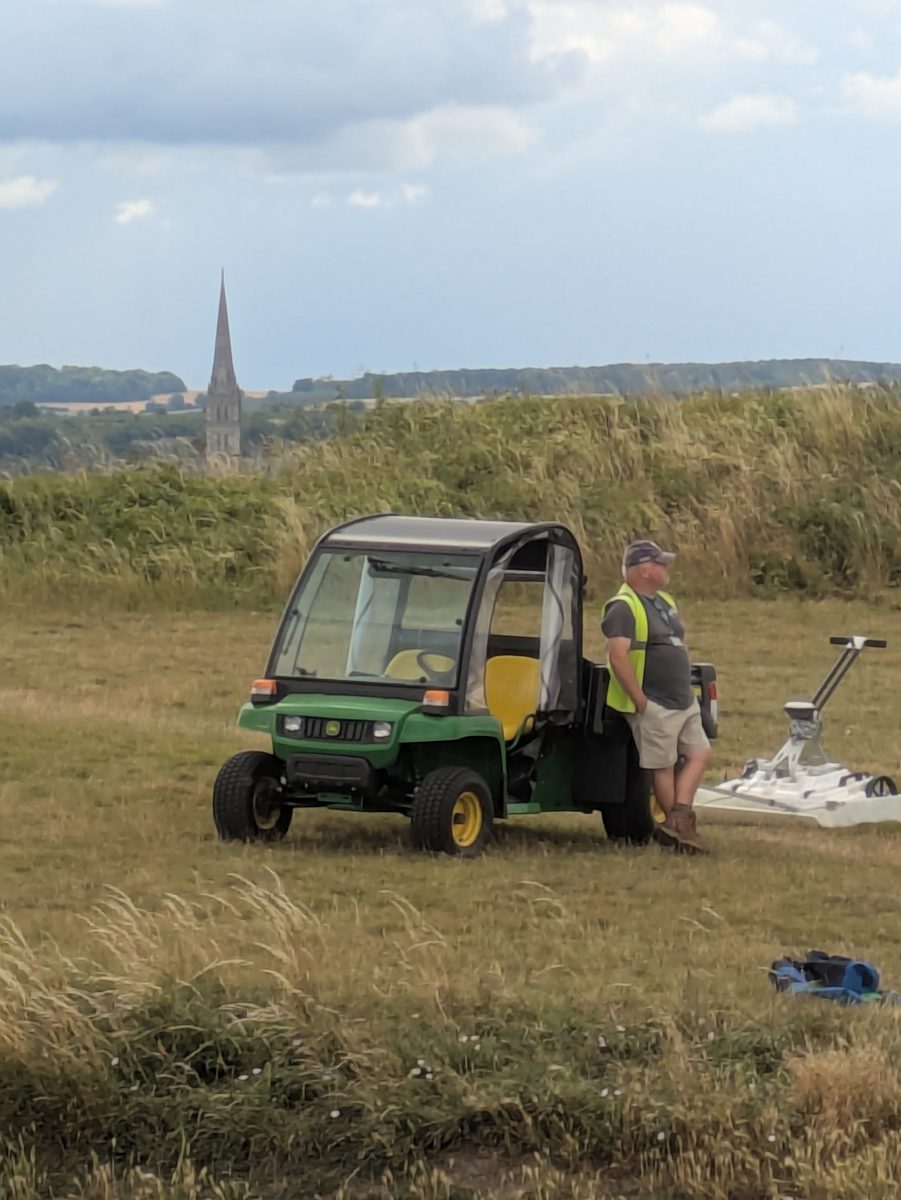
Old Sarum represents an important multi-period site, of particular significance immediately after the Norman Conquest, established by the Normans as a significant defended site in the south of England. It was situated at the nexus of the Roman road network, and close to the River Avon which runs down to the south coast. From 1068 the site was key to the establishing of Norman power, and by the 12th and 13th centuries was an important defended site, cathedral and settlement. By the 13th century, a new cathedral ad been founded to the south, and Old Sarum was slowly abandoned in favour of the new city of Salisbury (Fig. 3).
The changing fortunes of Old Sarum provided an opportunity to map a major medieval city that had been abandoned, and the results of the survey provide a clear indication of the nature of the settlement. These include defensive buildings with walls 3.5m thick, churches, houses, roads and the infrastructure for the site including cesspits.
Results from the south-west quadrant (Fig. 4) indicate an extensive settlement area incorporating residential buildings, a substantial high status structure, and infrastructure including possible drains and cesspits. The north-west quadrant of the site, the cathedral precinct, was excavated in part in the early 20th century. However, the GPR survey shows the extent of structures associated with the cathedral, but also a series of structures that pre-date the medieval cathedral, suggesting possible early medieval or Roman origins.
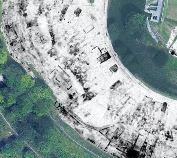
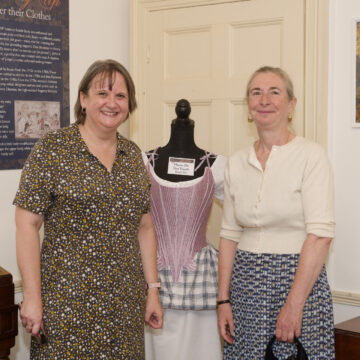
Directors of the project Dominic Barker and Kristian Strutt said: “results of the GPR survey have exceeded our expectations. With help from the dry summers of 2025 and 2026 these high-resolution survey results show the extent of a medieval city of national importance in fine detail, down to individual structures and smaller features including courtyards and cesspits. What is shown here is an intricate settlement, but what is also brilliant is the presence of earlier phases of activity on the site including possible Roman remains.”
The research was conducted by a team including undergraduate and postgraduate students from the Department of Archaeology (Fig. 5). Students on the Year 3 Archaeological Geophysics module, and Year 1 students undertaking their mandatory fieldwork were all involved in data collection and processing, and discussion of the final dataset.